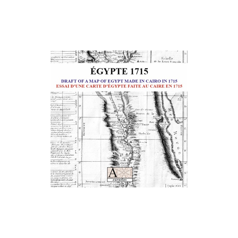

Egypt 1715: print surrounded by a comprehensive city list
 Security policy
(edit with the Customer Reassurance module)
 Delivery policy
(edit with the Customer Reassurance module)
 Return policy
(edit with the Customer Reassurance module)
Description
A digital copy of an antique print from a geography book of the 18th century.
The Egyptian basin of the Nile is shown and the main map is surrounded by a comprehensive city list of Egypt with historical accounts.
Requirements
Platform independent data, JPG format.
An image editing software is necessary, like Picasa, GIMP, Photoshop etc.
Main Features
- 1 digital map of Egypt in JPG format.
- Size of 3444 x 3170 pixels x 300 dpi.
- Real size, same as the original: 29.1 cm x 26.8 cm.
Egypt 1715: print surrounded by a comprehensive city list