 |
| Titre |
| Description |

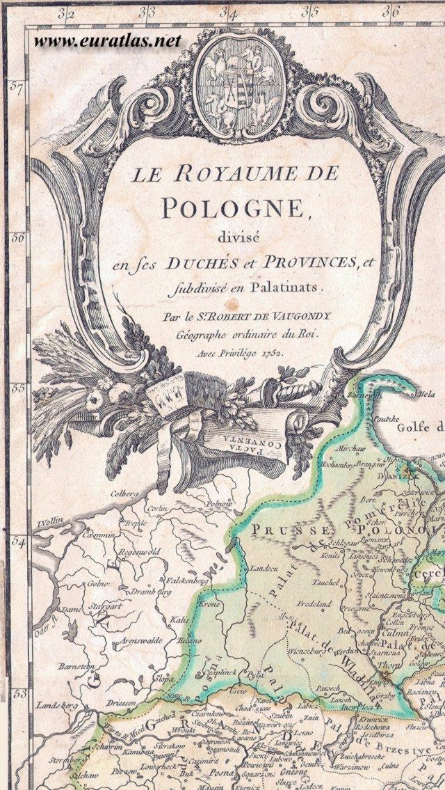
| Titre de la carte du Royaume de Pologne, réalisée en 1752 par Robert de Vaugondy. |
Title of the map of the Kingdom of Poland, drawn in 1752 by Robert de Vaugondy. |
| POLOGNE 1752: titre de la carte - POLAND 1752: Title of the Map |
||||||||||||||||
|
 |
|
||||||||||||||
|
||||||||||||||||