|
|
||||
|
|
||||
| 1 to 1000 | ||||
| 1100 to 2000 | ||||
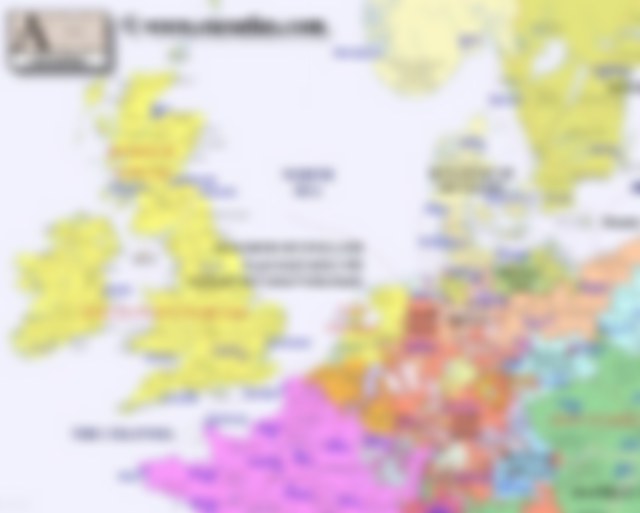
| NW year 1700 | ||||
| Legend | ||||
|
|
||||
|
||||
|
||||
|
|
||||
|
||||
|
|

| Narrowband click here |
| Major States, Provinces and Tribes Shown on this Map | |||
| Kingdom of France | Holy Roman Empire | Hanover | Denmark |
| Brandenburg | England and Scotland | Austrian Monarchy | Bavaria |