

Image size: 2154 x 2848 pixels x 250 dpi.
For Euratlas-Info subscribers only.
| Enter e-mail address: |
|---|
|
Euratlas-Info Members' Area | |||
| Ancient Greece by Drioux & Leroy Download in .jpg | ||||
|
| ||||
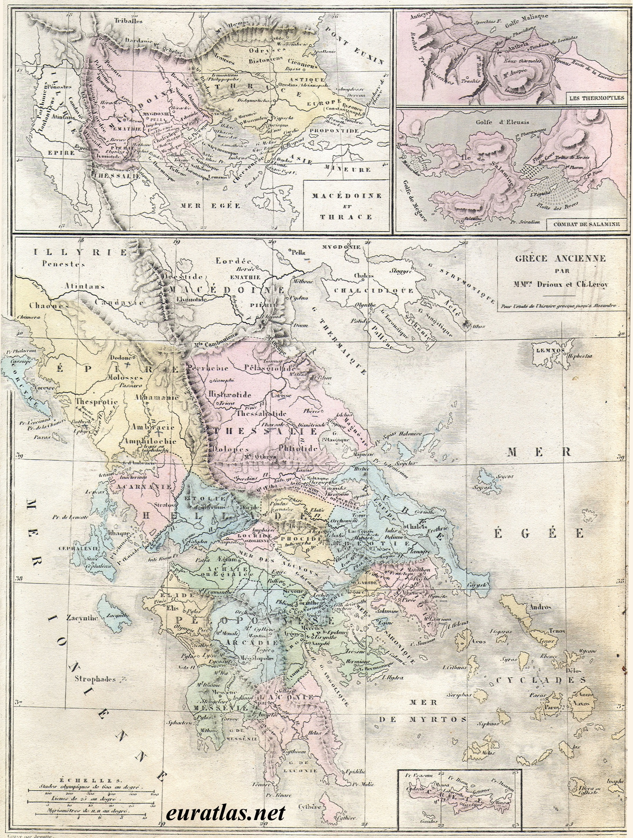
| Historical
map entitled "Grèce ancienne" from the Atlas universel de
Géographie (Universal Geography Atlas) by Drioux & Leroy
published in 1877. A nice map with the main city-states in the Hellenic
area during the 5th century B.C. and cartouches showing the battles of
Thermopylae and Salamina. Image size: 2154 x 2848 pixels x 250 dpi. For Euratlas-Info subscribers only.
| ||||